Terrain Printing

Terrains can be inaccessible, vast in scale and hard to perceive from the ground. OLIN's TECH Lab has been testing workflows for quickly 3D printing any terrain in the world, bringing existing topographies, watersheds, and landforms, into the palm of your hand.
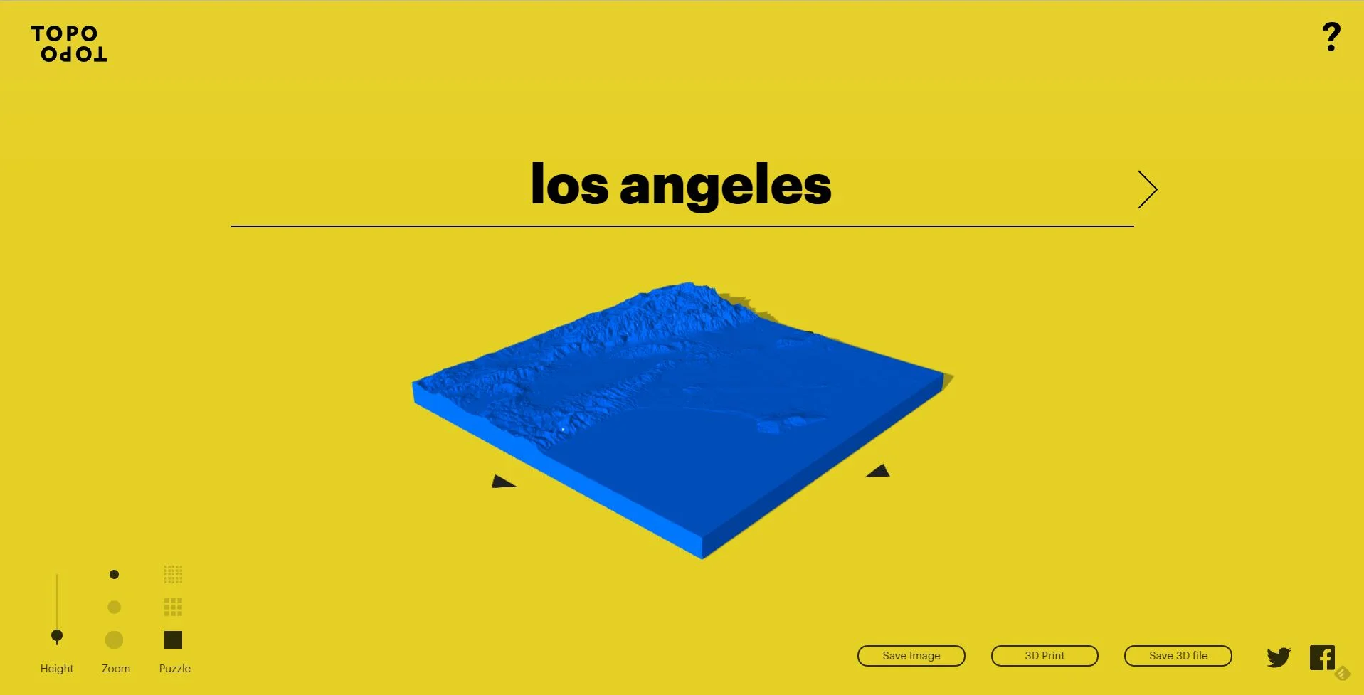
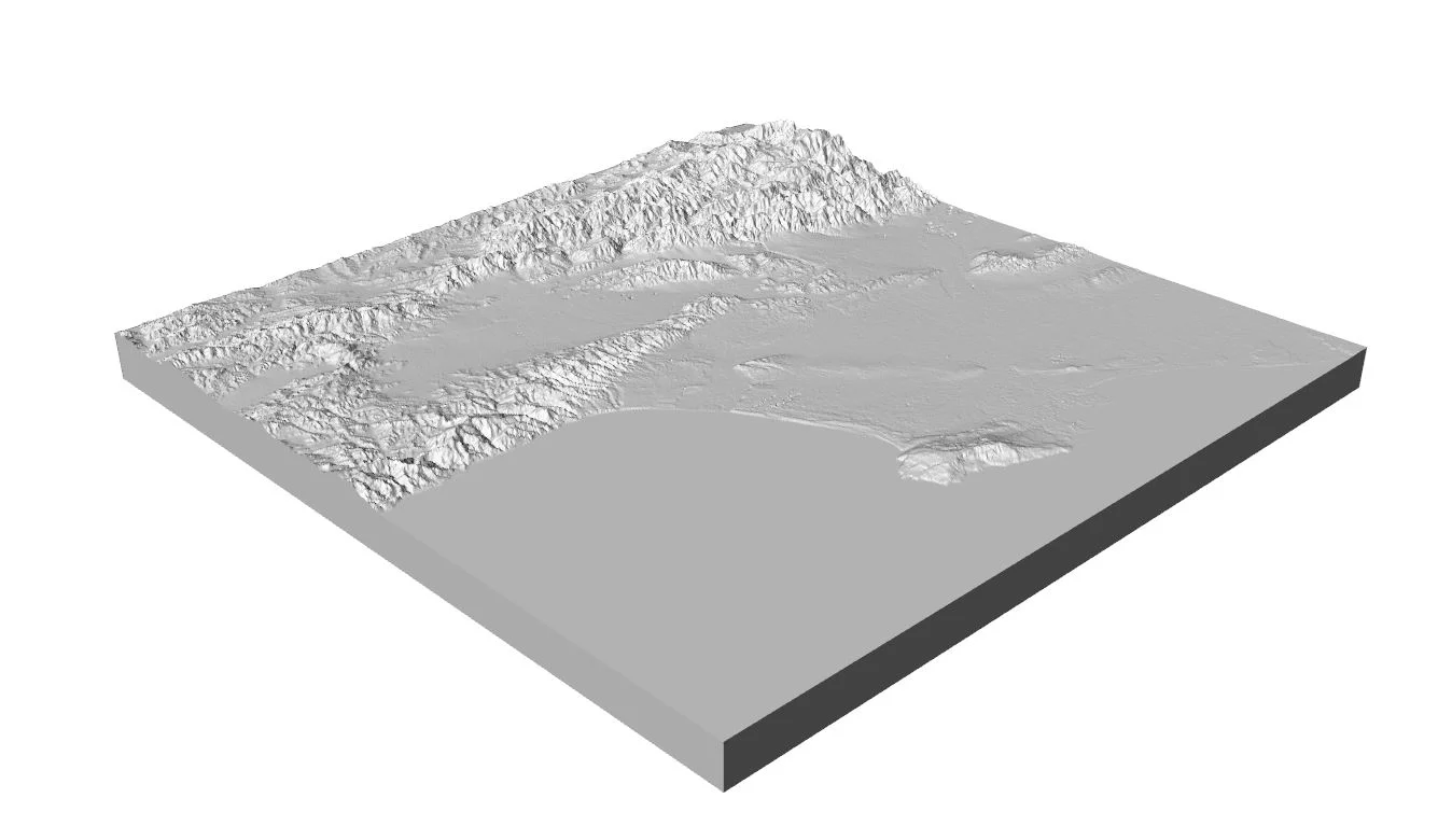
While there are many ways to create digital terrain models, TopoTopo by HUSH offers a simple, searchable website interface which converts globally available 1 arc-second, or about 30 meters (98 feet) resolution STRM data into a ready to print 5" square object file (3D model) that can be opened in modeling programs like Rhino and exported to a 3D printing software.


Early tests with OLIN's Ultimaker 3D Printer and Cura 3D printing software revealed that orienting the model vertically, so that the printer was laying down each layer in section rather than plan, maximized the crispness of ridges and valleys.
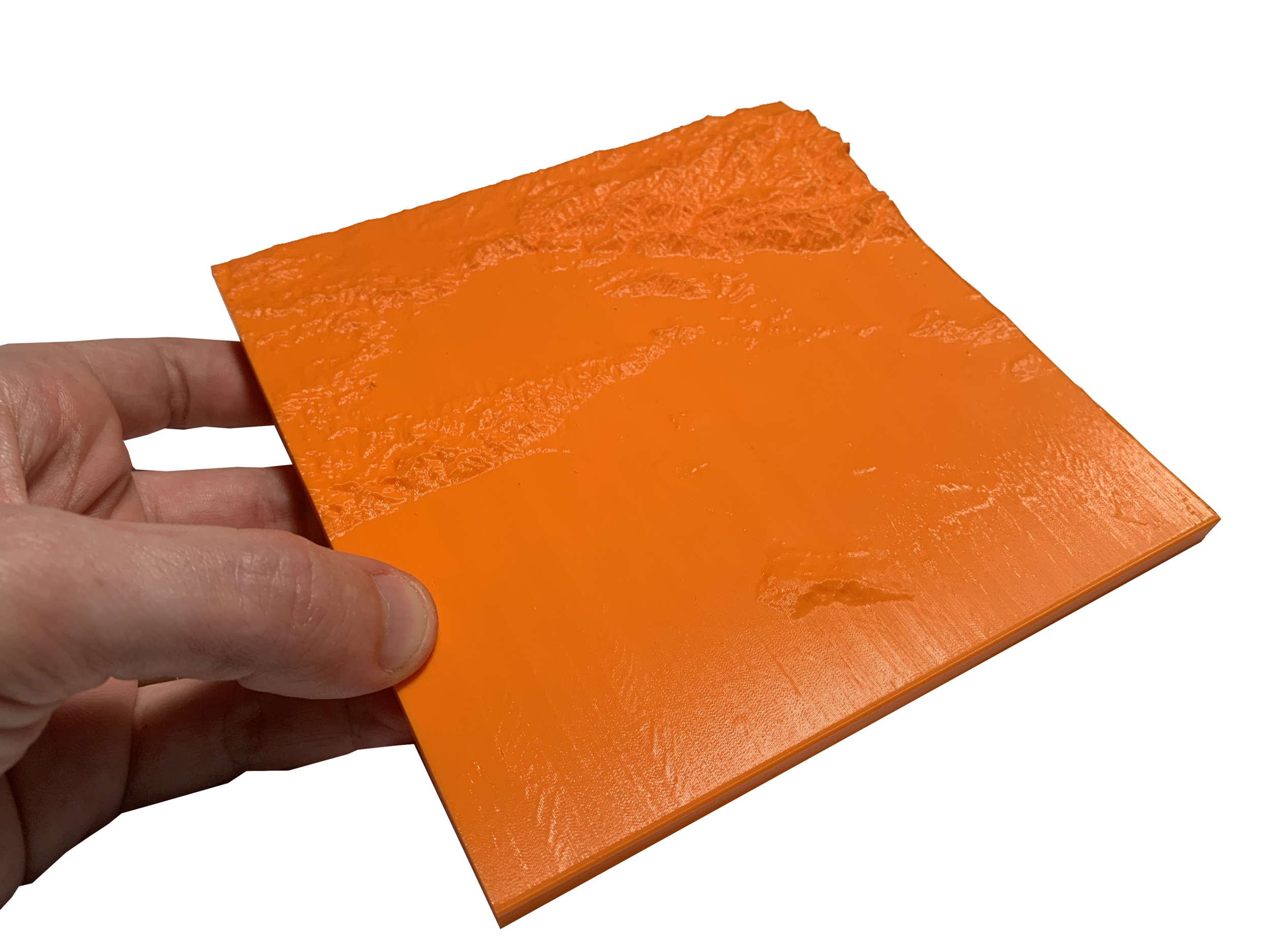
The printed model is approximately a 1" = 8 mile representation of the LA River Basin. TECH Lab is currently working on mutlti-color printing to distinguish land and water features and overlay analysis information.